Antiguo Cementerio de la Ciudad
El Antiguo Cementerio de la Ciudad de Brownsville presenta una vista inusual entre los cementerios de Texas.
La historia completa se desbloquea en el tour
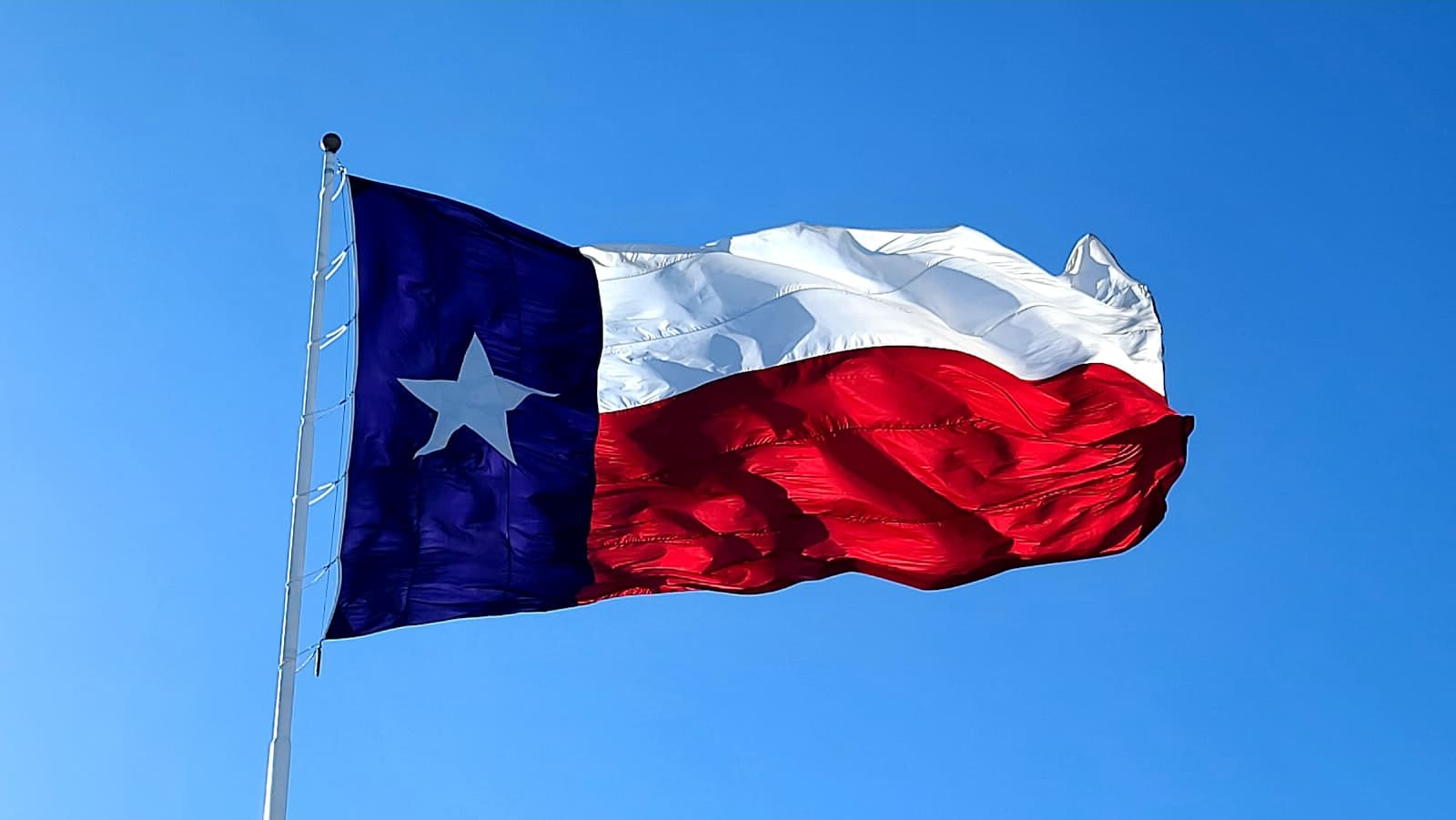 Photo: Pete Alexopoulos / Unsplash
Tour de audio autoguiado de Brownsville — ruta GPS a pie, reproducción offline, narración en 32 idiomas.
“Donde las llanuras de Texas se encuentran con la brisa del Golfo y las tradiciones fronterizas.”
No las postales. Las historias que ni los locales conocen — al oído, justo donde ocurrieron.
El Antiguo Cementerio de la Ciudad de Brownsville presenta una vista inusual entre los cementerios de Texas.
En una ciudad conocida por su clima subtropical, una planta nativa distintiva florece en Brownsville.
El puente que conecta Brownsville con Matamoros, México, era más que un simple cruce.
Descubre todos los secretos de Brownsville
Cada dirección, cada revelación al completo — a tu oído, justo donde ocurrió.
Eliges tus paradas. Caminas. La voz te revela lo que los demás ignoran.
Tu tour de audioguía por Brownsville te espera — elige tus lugares, tu idioma y empieza al llegar.
ComprarLume incluye una guía de realidad aumentada. Levanta el móvil y su cámara muestra la calle que tienes delante, con una flecha luminosa sobre la imagen real que siempre apunta a tu próxima parada — sin mapas que descifrar, sin giros equivocados. Como todo en Lume, funciona completamente sin conexión.
Brownsville, Texas, se extiende por el extremo más meridional del estado, una ciudad donde el Río Grande desemboca en la Costa del Golfo y las influencias americanas, mexicanas y texanas se entrelazan. Esta ciudad fronteriza, la más grande del Valle del Río Grande, ofrece una convergencia distintiva de historia, naturaleza y cultura vibrante. Su clima subtropical proporciona calidez durante todo el año, lo que la convierte en un destino atractivo para quienes buscan actividades al aire libre y un ritmo relajado.
Con una población predominantemente hispana, el tejido cultural de Brownsville está profundamente conectado con su herencia mexicana, evidente en su idioma, gastronomía y tradiciones. La ciudad sirve como un puerto de entrada estratégico, con un puerto de aguas profundas y un creciente sector aeroespacial. Desde campos de batalla históricos hasta diversos refugios de vida silvestre, Brownsville presenta un destino atractivo para los viajeros deseosos de explorar un rincón singular de Texas.
Los orígenes de Brownsville están profundamente arraigados en los conflictos y el comercio que dieron forma a la frontera entre Texas y México. La zona fue explorada ya en el siglo XVII, con asentamientos que se formaron a finales del siglo XVIII. Sin embargo, el verdadero comienzo de la ciudad está ligado a la Guerra México-Americana. En 1846, el Mayor del Ejército de EE. UU. Jacob Brown fue asesinado por fuego de cañón en Fort Texas, que posteriormente fue renombrado Fort Brown en su honor. El asentamiento que creció alrededor de este fuerte se convirtió en Brownsville, fundado oficialmente en 1848 e incorporado en 1853.
Su ubicación estratégica en el Río Grande rápidamente estableció a Brownsville como un centro comercial crucial para el sur de Texas y el norte de México. Los comerciantes aprovecharon el río para enviar mercancías, a menudo cruzándolas la frontera para evitar altos aranceles mexicanos, lo que impulsó aún más el crecimiento de la ciudad. A mediados del siglo XIX, hubo una afluencia diversa de residentes, incluidos los de la costa atlántica, México, Irlanda, Francia, Inglaterra y Alemania, lo que contribuyó a una cultura cosmopolita donde se hablaban múltiples idiomas.
La Guerra Civil Americana magnificó aún más la importancia de Brownsville. A medida que Texas se unió a la Confederación, la ciudad se convirtió en una "puerta trasera" vital para los rebeldes, facilitando el comercio con el puerto mexicano de Bagdad a pesar del bloqueo naval de la Unión. En particular, la última batalla de la Guerra Civil se libró justo al este de Brownsville el 13 de mayo de 1865. A principios del siglo XX, Brownsville continuó expandiéndose, con el establecimiento de plantas eléctricas y de agua en 1907 y la finalización del puente Brownsville-Matamoros en 1910, consolidando su papel como un centro económico y social.
Brownsville ofrece una variedad de atracciones que reflejan su historia única y su entorno natural. Los entusiastas de la historia pueden explorar el Parque Histórico Nacional del Campo de Batalla de Palo Alto, sitio de la primera gran batalla de la Guerra México-Americana, que cuenta con senderos para caminar y exhibiciones. El Museo Histórico de Brownsville, ubicado en una estación de tren de estilo neocolonial español de 1928 restaurada, profundiza en el pasado de la ciudad, desde la Guerra México-Americana y la Guerra Civil hasta la era del ferrocarril. Otra parada histórica es el Museo Stillman House, que ofrece una visión de la vida del siglo XIX y la historia del fundador de la ciudad, Charles Stillman.
Para aquellos interesados en la naturaleza y la vida silvestre, el Zoológico Gladys Porter es un parque zoológico y botánico de 31 acres con diversas especies animales y plantas tropicales. El Santuario de la Palma Sabal protege uno de los últimos rodales nativos de palmas sabal de Texas y brinda oportunidades para la observación de aves y la exploración de ecosistemas únicos. El Parque Estatal Resaca de la Palma, parte de la red del Centro Mundial de Observación de Aves, cuenta con extensos senderos y recorridos en tranvía en medio de paisajes nativos de Texas. El Museo de Trajes de las Américas exhibe una gran colección de vestimenta, textiles y accesorios indígenas de todo el hemisferio occidental.
Brownsville experimenta un clima subtropical húmedo con inviernos cálidos y veranos calurosos y húmedos. La temperatura promedio en enero, el mes más frío, es de alrededor de 17.2°C (62.9°F), mientras que agosto, el mes más caluroso, promedia 30.6°C (87°F). Las temperaturas bajo cero son raras, ocurriendo solo una o dos veces al año. La temporada de lluvias se concentra a fines del verano y principios del otoño, alcanzando su punto máximo en septiembre, cuando también hay un mayor riesgo de ciclones tropicales. Para un clima confortable, la mejor época para visitar Brownsville es de noviembre a marzo, cuando las temperaturas son suaves y la humedad es más baja, ideal para actividades al aire libre y turismo.
La moneda local en Brownsville es el dólar estadounidense (USD). Si bien el inglés se habla ampliamente, el español es el idioma más predominante debido a la gran población hispana de la ciudad, y muchos residentes son bilingües. Brownsville cuenta con el Aeropuerto Internacional Brownsville/South Padre Island (BRO), ubicado a 8 kilómetros al este del centro, con vuelos directos a las principales ciudades como Dallas y Houston. Para moverse por la ciudad, Brownsville Metro (B Metro) opera 13 rutas de autobús, la mayoría de las cuales comienzan y terminan en la terminal La Plaza at Brownsville en el centro. Los autobuses operan de lunes a sábado de 6 a.m. a 8 p.m., con servicio limitado los domingos en algunas rutas. Si bien Brownsville ha sido clasificada como una ciudad relativamente segura por algunas fuentes, siempre es prudente estar atento a su entorno, ya que las tasas de criminalidad pueden variar según el vecindario.
Brownsville en coreano, en chino o en hebreo — y 29 idiomas más, cada parada narrada por una voz nativa. La mayor variedad de idiomas de cualquier audioguía autoguiada.
Disponible en: