Socorro's Historic Plaza (Kittrel Park)
The central park in Socorro holds a secret beneath its well-tended grounds, a testament to a local figure's dedication.
Full story unlocks in the tour
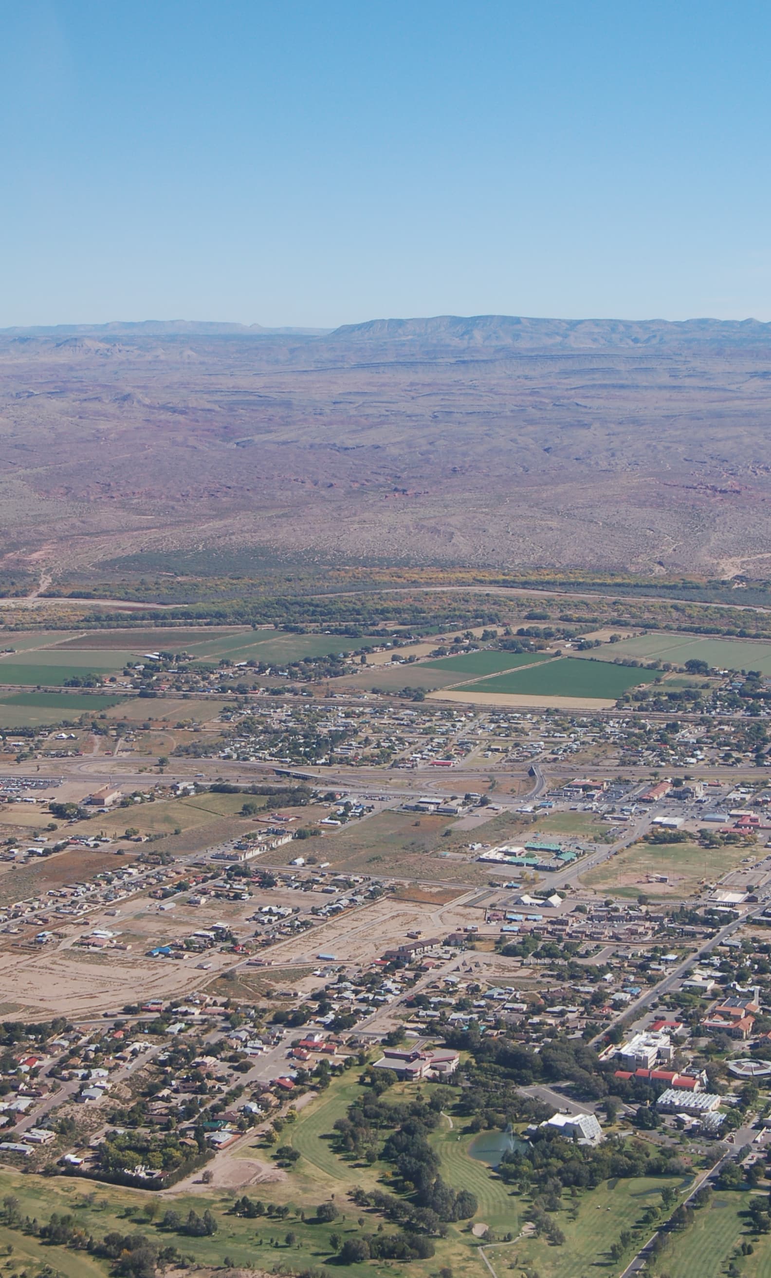 Jimwmurphy / CC BY 3.0, via Wikimedia Commons
Self-guided audio walking tour of Socorro — GPS route, offline playback, story-driven narration in 32 languages.
“Where ancient paths meet cosmic whispers and desert ingenuity.”
Not the postcards. The stories even locals don't know — whispered in your ear, right where they happened.
The central park in Socorro holds a secret beneath its well-tended grounds, a testament to a local figure's dedication.
Before New Mexico's current county lines were drawn, Socorro County was once a truly colossal administrative division.
Beneath the existing San Miguel Mission, one of the nation's oldest Catholic churches, lie even more ancient foundations.
Discover every secret of Socorro
Every address, every reveal in full — in your ear, right where it happened.
You pick your stops. You walk. The voice reveals what the others miss.
Your self-guided audio tour of Socorro is ready — pick your landmarks, choose your language, and start the moment you arrive.
BuySocorro, New Mexico, is a city where the echoes of ancient pueblos and Spanish colonial ventures blend with the cutting edge of scientific discovery. Situated in the Rio Grande Valley at an elevation of approximately 4,579 feet, Socorro offers a distinctive blend of enduring history, diverse landscapes, and a surprisingly engaged intellectual community. Its name, Spanish for 'help' or 'aid,' speaks to its origins as a place of succor for early explorers, a spirit of assistance that continues through its role as a hub for scientific research and education.
Beyond its historical roots, Socorro is a gateway to expansive natural beauty, from the migratory bird haven of Bosque del Apache to the dramatic desert formations of the Quebradas Backcountry Byway. The city serves as a base for exploring both the visible wonders of the high desert and the invisible frontiers of space, with the world-renowned Very Large Array just a short drive away. Whether you're drawn by the allure of the past, the mysteries of the cosmos, or the tranquility of the New Mexico landscape, Socorro presents a unique and engaging destination.
Socorro's story begins long before European contact, with the Piro-speaking people of the Teypana Pueblo inhabiting the area around 1200. In 1598, Spanish explorer Don Juan de Oñate, leading an expedition through the arduous Jornada del Muerto, received vital aid from the Teypana people, prompting him to rename their village 'Socorro' (help/aid). Franciscan priests soon established the Old San Miguel Mission, marking the beginning of Spanish colonial presence and trade along El Camino Real, the 'Royal Road' connecting New Mexico to Mexico.
The Pueblo Revolt of 1680 saw the Teypanas and Spanish settlers abandon the area, and Socorro was not permanently re-established until around 1815. The mid-19th century brought the region into U.S. territory, leading to the establishment of Fort Craig in 1854 to protect settlers and the Camino Real from Native American raids. The Civil War reached Socorro County in 1861, with the significant Battle of Valverde resulting in a Confederate victory.
The arrival of the railroad in the 1880s ushered in a period of rapid growth, transforming Socorro into a bustling center for mining, ranching, and commerce. This era also saw the founding of the New Mexico School of Mines (now New Mexico Tech) in 1889, an institution that would later become a cornerstone of the city's scientific identity. While the mining expansion eventually subsided in the 1920s, Socorro County gained international recognition during World War II as the site of the Trinity Test, the first detonation of an atomic bomb. Today, Socorro continues its legacy as a center for technology and scientific research, while preserving its deep indigenous and Hispanic heritage.
Begin your exploration at the Old San Miguel Mission, one of the oldest Catholic churches in the United States, showcasing enduring mission-style architecture and a history stretching back to the 17th century. The Socorro Historic Plaza, also known as Kittrel Park, forms the heart of the city, surrounded by historic buildings and serving as a community gathering spot. Nearby, Elfego Baca Heritage Park tells the story of Socorro through an art wheel and interpretive monuments, including the tale of the legendary Sheriff Elfego Baca.
For a glimpse into the region's scientific prowess, visit the New Mexico Tech Mineral Museum, home to an impressive collection of geological specimens. A short drive west leads to the iconic Karl G. Jansky Very Large Array (VLA), a world-renowned radio astronomy observatory with 27 massive dishes spread across the Plains of San Agustin. Nature enthusiasts will find solace at the Bosque del Apache National Wildlife Refuge, a critical stop for migratory birds like sandhill cranes and snow geese, especially during the winter months. The Quebradas Backcountry Byway offers scenic drives through dramatic desert landscapes, while Box Canyon provides opportunities for hiking and rock climbing.
Socorro experiences a dry, semi-arid climate with four distinct seasons. For warm-weather activities, the most pleasant times to visit are from mid-May to late July and from late July to late September. For overall comfort, considering mild temperatures and low humidity, plan your trip between March and May, and again in September and October. August tends to be the wettest month, while February is the cloudiest. Winter brings mild temperatures and occasional light snow.
Socorro is located approximately 74 miles south of Albuquerque. The closest major airport is Albuquerque International Airport (ABQ), from which you can take I-25 South to reach Socorro. While Socorro is walkable in its historic core, a car is essential for exploring the surrounding natural attractions and the Very Large Array. The city offers a range of lodging and dining options, with local businesses readily embraced by residents and visitors. The area's diverse landscapes provide abundant opportunities for outdoor recreation, including hiking, biking, and birdwatching, so pack accordingly.
Socorro in Korean, in Chinese or in Hebrew — and 29 more languages, every stop narrated by a native voice. The widest language range of any self-guided audio tour.
Available in: