El Sendero del Pacífico Salvaje
Este famoso sendero ofrece espectaculares vistas al océano, pero una inscripción menos conocida revela una conmovedora historia local.
La historia completa se desbloquea en el tour
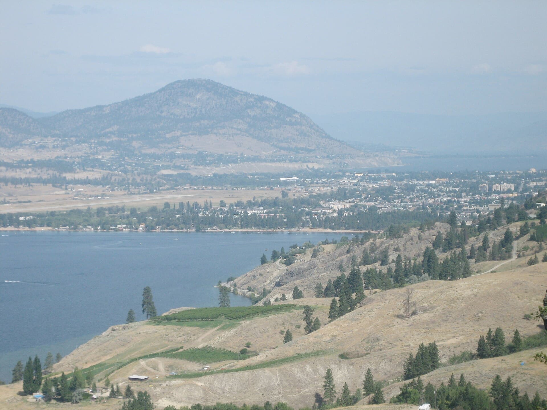 Photo of Penticton, via Wikimedia Commons
Tour de audio autoguiado de Ucluelet — ruta GPS a pie, reproducción offline, narración en 32 idiomas.
“Donde el salvaje Pacífico se encuentra con un puerto seguro, Ucluelet te invita a bajar el ritmo y escuchar el ritmo del océano.”
No las postales. Las historias que ni los locales conocen — al oído, justo donde ocurrieron.
Este famoso sendero ofrece espectaculares vistas al océano, pero una inscripción menos conocida revela una conmovedora historia local.
Durante la Segunda Guerra Mundial, Ucluelet desempeñó un papel estratégico, y aún se pueden encontrar restos de este pasado en un lugar inesperado.
Este pequeño acuario ofrece una experiencia única con su colección en constante cambio.
Descubre todos los secretos de Ucluelet
Cada dirección, cada revelación al completo — a tu oído, justo donde ocurrió.
Eliges tus paradas. Caminas. La voz te revela lo que los demás ignoran.


Tu tour de audioguía por Ucluelet te espera — elige tus lugares, tu idioma y empieza al llegar.
ComprarLume incluye una guía de realidad aumentada. Levanta el móvil y su cámara muestra la calle que tienes delante, con una flecha luminosa sobre la imagen real que siempre apunta a tu próxima parada — sin mapas que descifrar, sin giros equivocados. Como todo en Lume, funciona completamente sin conexión.
Ucluelet, cariñosamente conocida como "Ukee" por los lugareños, es un distrito municipal en la península de Ucluelet, en la costa oeste de la Isla de Vancouver, Columbia Británica, Canadá. Su nombre proviene de la lengua indígena Nuu-chah-nulth, Yuułuʔił, que significa "gente del puerto seguro" o "gente del lugar de aterrizaje seguro", un testimonio de su ensenada protegida. Esta pequeña y acogedora comunidad, con una población de 2.066 habitantes en 2021, ofrece un encanto distintivo y más rústico en comparación con su vecino del norte, Tofino, al tiempo que proporciona acceso a la belleza natural de la Cuenca del Pacífico.
Ucluelet se encuentra en el extremo occidental de Barkley Sound, un área marina que incluye las Islas Broken Group, parte de la Reserva del Parque Nacional Pacific Rim. La ciudad actúa como puerta de entrada a este extenso parque, que cuenta con antiguas selvas tropicales y kilómetros de costa. Antiguamente, una economía basada principalmente en la pesca y la tala, Ucluelet ha pasado a ser un próspero destino de ecoturismo, atrayendo a visitantes con sus oportunidades de aventura al aire libre y un ritmo de vida más lento.
La historia de Ucluelet se remonta al menos 4.300 años, con evidencia arqueológica que confirma la presencia continua de los Yuułuʔiłʔatḥ (Primera Nación Ucluelet), un pueblo Nuu-chah-nulth, en la península de Ucluth. Su territorio tradicional, o hahuułi, abarca la tierra y el océano que proporcionaron sustento y apoyaron sitios de aldeas históricas a lo largo de la península. La enseñanza Nuu-chah-nulth de 'cawaaksamin', que significa 'Todos somos uno', refleja su profunda conexión con la tierra y el mar.
El contacto europeo comenzó a finales del siglo XVIII. Juan Pérez ancló y comerciaba en Nootka Sound, al norte de Ucluelet, en 1774. El capitán James Cook de la Armada Británica también visitó Nootka Sound en 1778. Más tarde, los comerciantes de pieles marítimos, como Charles William Barkley en 1787, llegaron a Barkley Sound en busca de pieles de nutria marina. Para 1870, los cazadores de focas establecieron un puesto comercial en el puerto de Ucluelet, marcando el comienzo del crecimiento de la ciudad junto con la industria de la caza de focas.
A finales del siglo XIX llegaron más colonos, impulsados por la noticia de un inminente acceso por carretera desde Port Alberni y la perspectiva de oro en la bahía de Florencia. Aunque se encontró oro, no fue en cantidades rentables. A principios del siglo XX, el desarrollo de la industria pesquera atrajo a más gente a Ucluelet. Se añadieron conserveras, estaciones de compra de pescado e instalaciones de procesamiento para apoyar las crecientes capturas de salmón, fletán, bacalao y arenque. Pescadores japoneses de Steveston se establecieron en Ucluelet alrededor de 1920, introduciendo métodos de pesca con curricán de salmón que impulsaron aún más la industria.
La silvicultura también desempeñó un papel importante en la economía de Ucluelet, particularmente desde la década de 1950 hasta la de 1990. Durante la Segunda Guerra Mundial, la ubicación estratégica de Ucluelet llevó al establecimiento de una base de hidroaviones y una base terrestre en Long Beach por parte de los militares. Durante este tiempo se completó una carretera que conectaba Ucluelet con Tofino, principalmente para el acceso militar al aeropuerto de Long Beach. Ucluelet se incorporó como pueblo en 1952, y la tan esperada carretera a Port Alberni finalmente se abrió en 1959. En 1997, su estatus cambió a municipio de distrito, lo que refleja su creciente población e importancia regional.
El establecimiento de la Reserva del Parque Nacional Pacific Rim en 1971 fue un momento crucial, abriendo la puerta al turismo internacional. Hoy en día, el turismo es un motor económico principal, empleando a cientos de personas y generando millones anualmente. El Centro de Visitantes de Pacific Rim es el segundo centro turístico más visitado de la Isla de Vancouver, después de Victoria. Ucluelet ha pasado con éxito de una economía basada en los recursos a un destino turístico durante todo el año, ofreciendo una amplia gama de actividades y manteniendo su identidad como ciudad trabajadora junto con su atractivo turístico.
Ucluelet ofrece una variedad de experiencias, desde escarpados senderos costeros hasta íntimos encuentros con la vida silvestre. El Wild Pacific Trail es un punto culminante, un sendero de clase mundial que bordea los dramáticos acantilados y playas de la península de Ucluelet. Ofrece vistas panorámicas del Océano Pacífico abierto y las Islas Broken Group, serpenteando a través de antiguas selvas tropicales llenas de árboles gigantes, musgos y helechos. El Lighthouse Loop, una sección de 2.6 kilómetros del sendero, conduce al histórico Faro de Amphitrite Point.
Para los entusiastas marinos, el Acuario de Ucluelet ofrece una mirada íntima a la vida marina local, operando con un modelo único de recolección y liberación. Los cruceros de observación de vida silvestre parten del puerto de Ucluelet, aventurándose en Barkley Sound y el archipiélago de Broken Group Islands, ofreciendo la oportunidad de avistar ballenas, osos, leones marinos y águilas calvas. El kayak y el stand-up paddleboarding son formas populares de explorar el tranquilo puerto interior o las más aventureras Islas Broken Group.
Las playas de Ucluelet, incluyendo Big Beach, Terrace Bay y Little Beach, son ideales para buscar conchas, hacer picnics y observar las poderosas olas del Pacífico. El surf es una actividad durante todo el año, con varias tiendas de surf que ofrecen alquileres y lecciones para todos los niveles en playas cercanas como Florencia Bay, Wickaninnish Bay y Long Beach. El Criadero de Peces Thornton Creek ofrece información sobre proyectos de mejora del salmón y oportunidades para observar salmones desovando e incluso osos durante el otoño.
Ucluelet es un destino para todo el año, y cada estación ofrece una experiencia distinta. Para actividades de clima cálido y cielos más despejados, la mejor época para visitar es de mediados de julio a finales de agosto, cuando las temperaturas máximas diarias promedio superan los 17 °C (62 °F). Los cielos más despejados suelen ser en agosto.
La primavera, particularmente marzo y abril, marca el final de la temporada de tormentas y es un excelente momento para la observación de vida silvestre, incluida la migración de ballenas grises a Alaska. El otoño trae una atmósfera más tranquila, aire fresco y tonos dorados en la selva tropical, ideal para caminatas tranquilas y para seguir practicando surf y kayak. El invierno es la temporada de observación de tormentas de Ucluelet, que ofrece espectaculares exhibiciones oceánicas desde puntos de vista seguros como el Wild Pacific Trail.
Ucluelet se encuentra en la costa oeste de la Isla de Vancouver, aproximadamente a 288 km (179 millas) al noroeste de Victoria y a 100 km (62 millas) al este de Port Alberni. El acceso en coche es a través de la Carretera 4, una carretera sinuosa que requiere neumáticos de invierno o cadenas del 1 de octubre al 31 de marzo. El Aeropuerto de Tofino Ucluelet (Aeropuerto de Long Beach) sirve a pequeños aviones de pasajeros, y los hidroaviones pueden acceder al Aeródromo Acuático de Ucluelet, aunque la niebla costera a veces puede retrasar los viajes aéreos en verano.
Dentro de Ucluelet, encontrará servicios esenciales que incluyen una clínica médica, supermercados, farmacias, una oficina de correos y servicios bancarios. Los alojamientos van desde resorts de lujo hasta hostales y campamentos, pero se recomienda encarecidamente reservar con anticipación, especialmente durante las vacaciones y los meses de verano, ya que el alojamiento puede estar completamente reservado. La ciudad es apta para peatones, con muchas playas y el Wild Pacific Trail a poca distancia de los alojamientos. Tofino Bus también ofrece servicio a Ucluelet desde Victoria, Vancouver, Nanaimo y Port Alberni.
Ucluelet en coreano, en chino o en hebreo — y 29 idiomas más, cada parada narrada por una voz nativa. La mayor variedad de idiomas de cualquier audioguía autoguiada.
Disponible en: